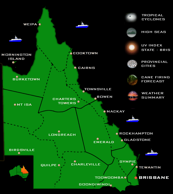
Brisbanes forecast is now on a seperate page and can be accessed by clicking on the Brisbane text itself. |
|
IDQ10700
Australian Government Bureau of Meteorology
Queensland
Queensland State Forecast Issued at 3:00 am EST on Wednesday 11 November 2026 for the period until midnight EST Saturday 14 November 2026. Warning Information For latest warnings go to www.bom.gov.au, subscribe to RSS feeds, call 1300 659 210* or listen for warnings on relevant TV and radio broadcasts. Weather Situation A trough in the far west will move east across southern Queensland, weakening by Friday. A weak high will move into the Tasman Sea on Thursday and move east for a couple of days, maintaining a ridge over the east coast. A new trough will move into the far west on Saturday and slowly move east over the following few days. Forecast for the rest of Wednesday 11 November Isolated to scattered showers and thunderstorms, tending to showers over northern Cape York Peninsula and the North Tropical Coast. Possible severe thunderstorms with large hail, damaging wind gusts, and heavy rainfall southeast of Emerald. Possible morning fog in eastern districts south of Gladstone. Light to moderate northwest to northeasterly winds, turning northeast to southeasterly over northern Cape York Peninsula. Moderate to fresh southeast to southwesterly winds in the far southwest. Maximum temperatures above average in the southwest and the southern interior, near average elsewhere. Forecast for Thursday 12 November Isolated to scattered showers and thunderstorms, tending to isolated showers over the North Tropical Coast. Possible severe thunderstorms with large hail, damaging wind gusts, and heavy rainfall in the southeast. Maximum temperatures above average in the southern interior, near average elsewhere. Forecast for Friday 13 November Isolated to scattered showers and thunderstorms, tending to very isolated showers over the North Tropical Coast. Maximum temperatures above average in the southern interior, and in the northeast between Cooktown and Bowen. Forecast for Saturday 14 November Isolated to scattered showers and thunderstorms, tending to very isolated showers over the North Tropical Coast. Maximum temperatures above average in the far southwest, and in the northeast between Cooktown and Townsville. The next routine forecast will be issued at 3:30 pm EST Wednesday. * Calls to 1300 numbers cost around 27.5c incl. GST, higher from mobiles or public phones. Copyright Commonwealth of Australia 2011, Bureau of Meteorology (ABN 92 637 533 532). Users of these web pages are deemed to have read and accepted the conditions described in the Copyright, Disclaimer, and Privacy statements (http://www.bom.gov.au/other/copyright.shtml). |